
Back in the summer of 1982–83, Australia was blindsided by one of the worst weather disasters in its history—massive red dust storms that turned day into night and the tragic Ash Wednesday bushfires. Back then, scientists had no warning system. Today, we do—and the gauges are flashing red.
In a latest deep-dive analysis by If You're Listening, experts warn that key climate indicators are plunging faster than they did in 1982, pointing toward a potentially historic "Super El Niño."
🔍 How does this impact us right here in Cairns & Far North Queensland?
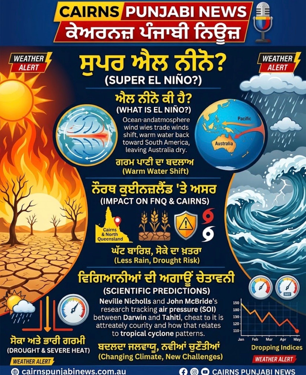
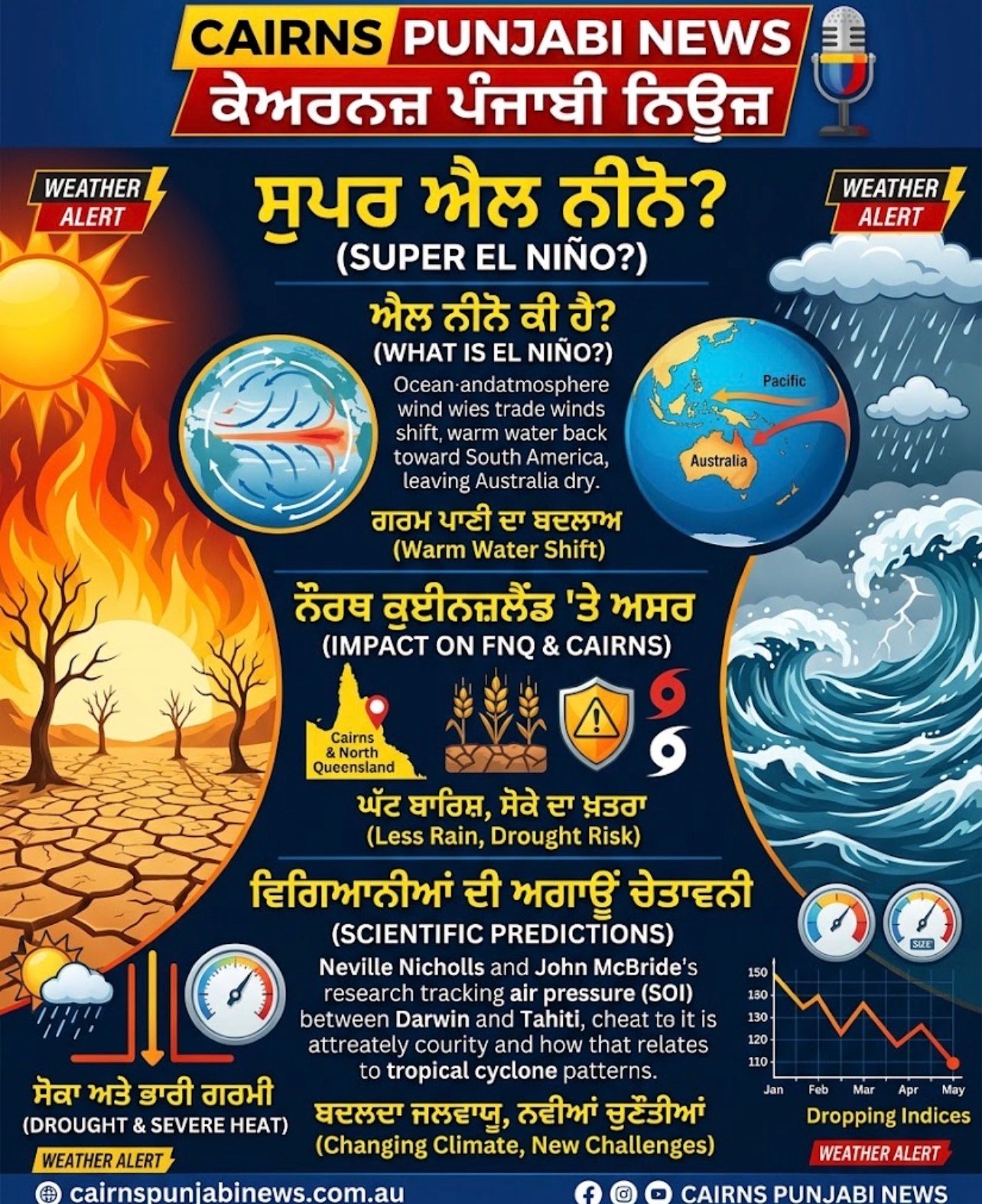
1️⃣ The North QLD Ocean Shift: Normally, trade winds push warm Pacific water right up against the North Queensland coast, bringing us our classic tropical rain. During El Niño, those winds weaken, and our warm ocean water drifts back toward South America—taking our rain with it.
2️⃣ Darwin to Tahiti Pressure (SOI): Australian scientists Neville Nicholls and John McBride revolutionized forecasting by tracking air pressure between Darwin and Tahiti (the Southern Oscillation Index). This very research began by studying how Darwin's winter air pressure predicts Tropical Cyclones in our region!
3️⃣ A Changing Climate Baseline: While a plunging SOI traditionally means severe heat, drought, and early bushfire risk across Australia, rising ocean temperatures have made weather patterns more unpredictable—prompting the Bureau of Meteorology (BoM) to urge farmers and residents to watch local long-term forecasts closely alongside El Niño alerts.
🌾 Message for our FNQ Community & Farmers:
Whether you are managing farms on the Tablelands, banana plantations in the Cassowary Coast, or preparing your home in Cairns for the upcoming summer, staying ahead of seasonal forecasts is more important than ever.
📢 Follow Cairns Punjabi News for local updates, weather alerts, and community news!